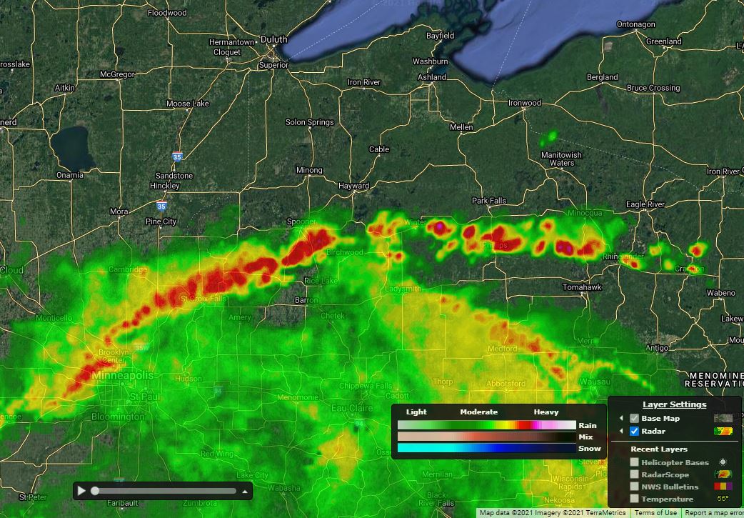
High-resolution Radar and Future Radar
AviationSentry now includes an updated, high-resolution radar composite as well as expanded 90-minute future radar including over Europe, Japan and Australia.
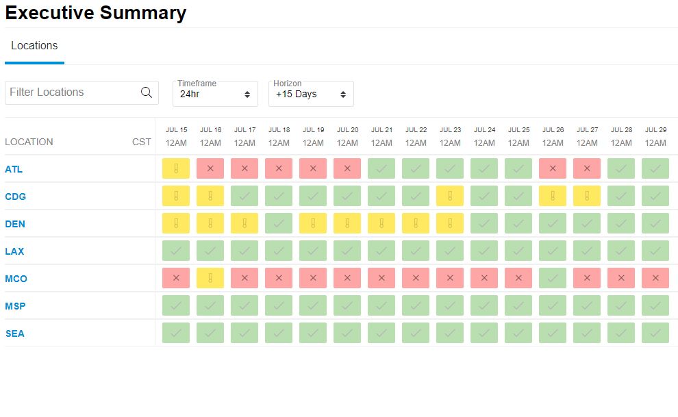
Executive Summary
This red, yellow, green dashboard provides a weather impact visualization for all of your locations based on customized weather thresholds. Make your go/no-go decisions based on this easy to digest information to know whether a weather-driven response may be needed in the areas that mean the most to your operations.
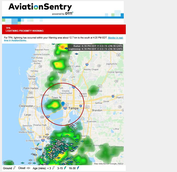
Enhanced Alerting
Location, alert and distribution setup has been redesigned and some email alerts now include a visual image of weather impact to your location such as lightning, radar and bulletins.
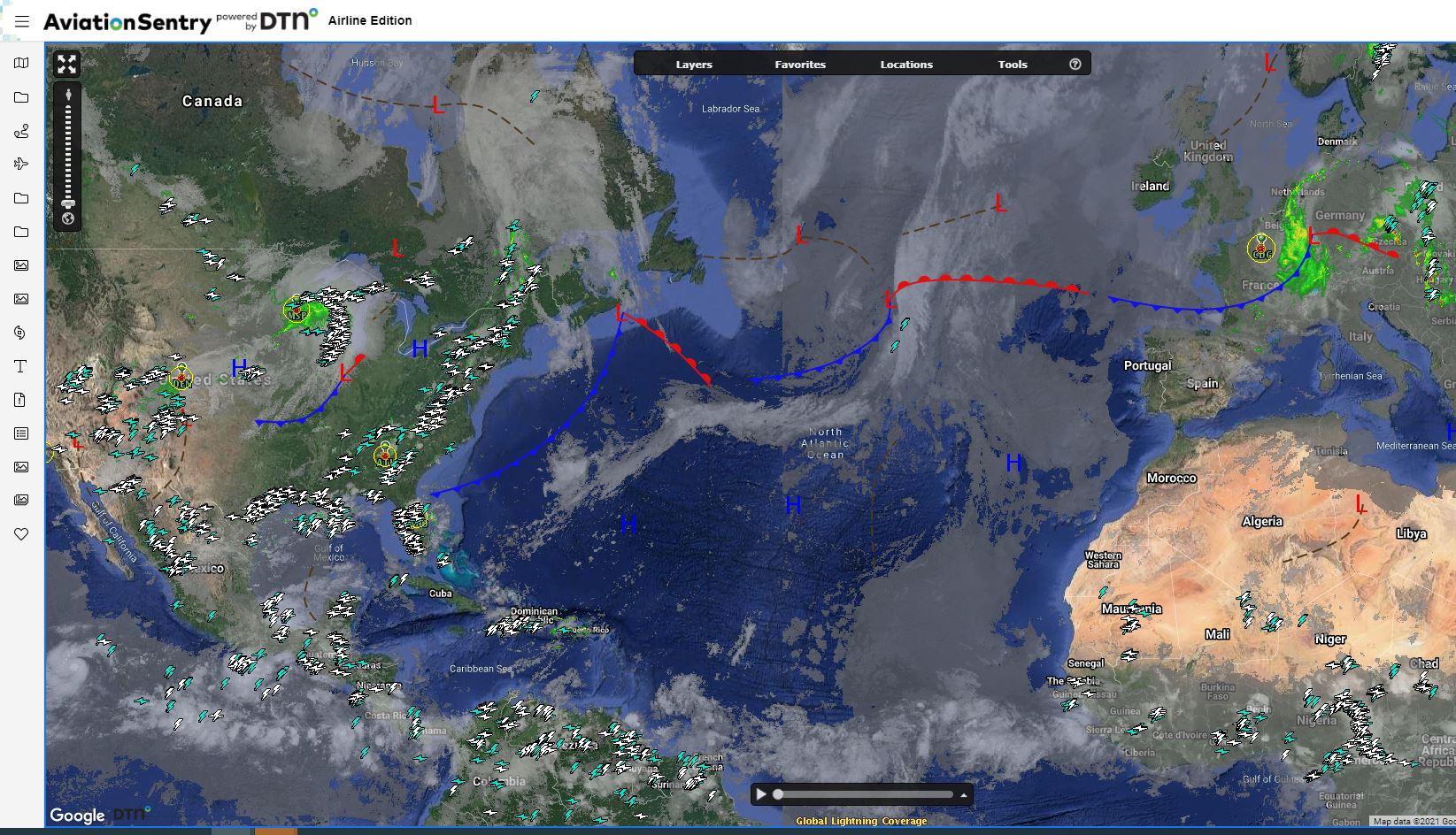
Welcome to AviationSentry
Enhanced radar, an Executive Summary and new alerting are just a click away. Let’s get started...